Design Nomenclature / Digital Model Making
3D Scanning
Also called scanning, structured-light scanning, laser scanning, LiDAR
This entry has not been translated yet and is shown in English.
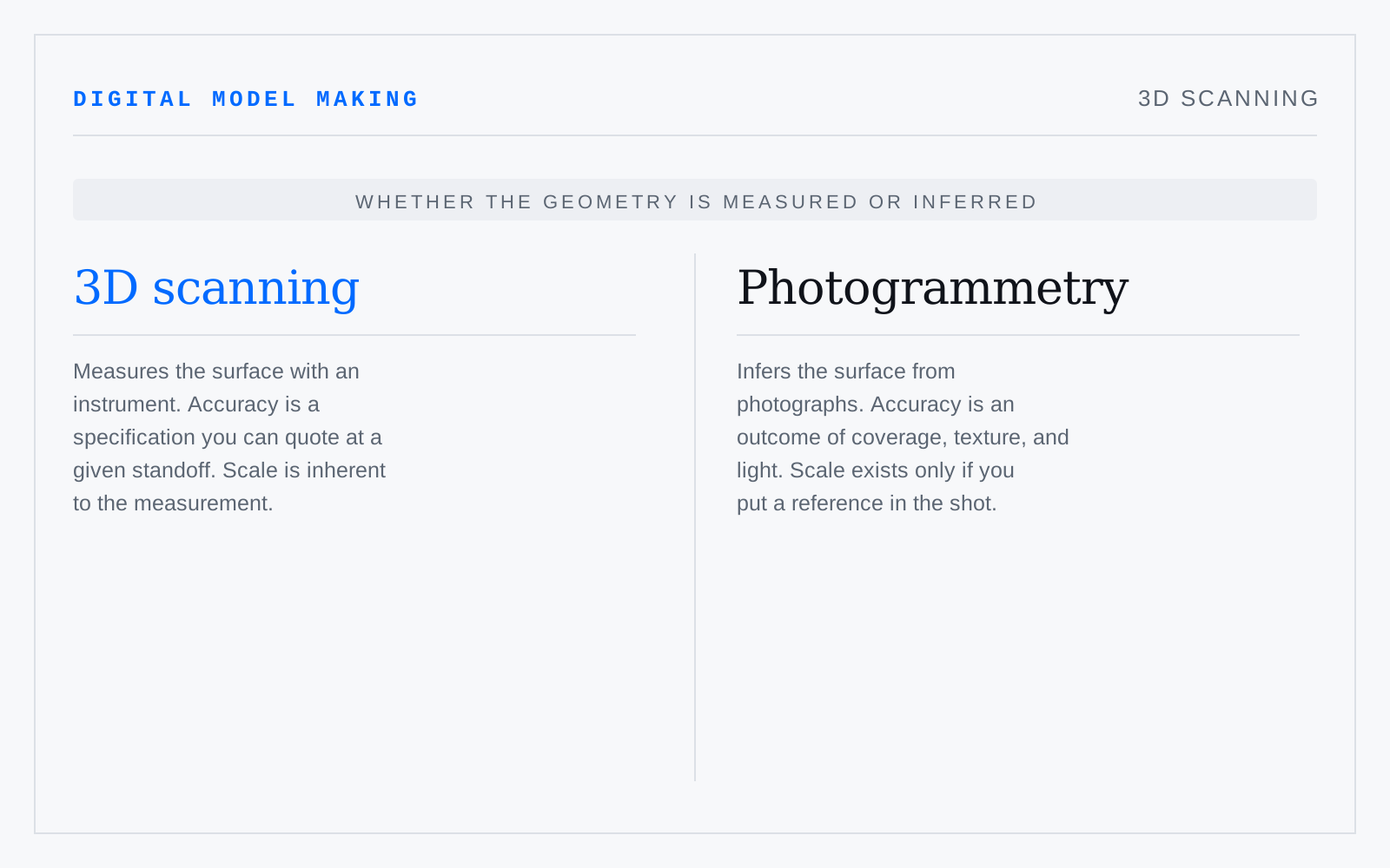
Measuring a real surface directly: structured light projects a known pattern, laser triangulation sweeps a line, time-of-flight times a return. All produce range data in the instrument's own frame, and multiple passes must be registered together. Accuracy here is a specification — unlike photogrammetry's, which is an outcome.
In practice
“Scan” gets said for photogrammetry too. If the number matters, ask which instrument and what its stated accuracy is at that standoff.
Not to be confused with
- PhotogrammetryReconstructing geometry from overlapping photographs by matching features across views, solving for camera positions, and triangulating a dense point cloud. It needs texture to match on: matte, detailed, evenly lit surfaces resolve, while gloss, glass, and flat white do not. Scale comes only from a reference placed in the scene.
- Point CloudAn unstructured set of measured 3D points, often with colour and estimated normals, and with no connectivity: no edges, no faces, no surface. It is data, not a model. Everything downstream — meshing, normal estimation, hole filling — is inference, and noise, occlusion, and registration error are already in it.