In the far northwest corner of Colorado, in the high sagebrush country of Moffat County, there is a placer field that has been discovered three times. Prospectors found it in 1894. A syndicate of eastern investors bet a 36-mile canal on it in 1895. Mining companies came back for it in the early 1980s. And beginning in 2014, I began assembling the land, the data, and the science to understand what all of them had been chasing — and what they had missed.
This section of the portfolio documents that work: the operating company AuPt Industries LLC, the West Side Placer project it holds in the historic Fourmile–Timberlake mining district, and a decade of field seasons spent proving what the ground actually contains.
Two Stories in One Deposit
The first story is gold. The terrace gravels here carry fine placer gold — enough to have supported three eras of serious attention, and enough to have taught every operator the same hard lesson about the clay that guards it.
The second story is newer, and larger. The same black sands that ride with the gold are rich in monazite — a rare-earth phosphate mineral that has become one of the most strategically important minerals in the United States. Neodymium and praseodymium for permanent magnets; the heavy rare earths that make modern motors, turbines, and defense systems work. What was a nuisance byproduct in 1980 is, today, arguably the point.
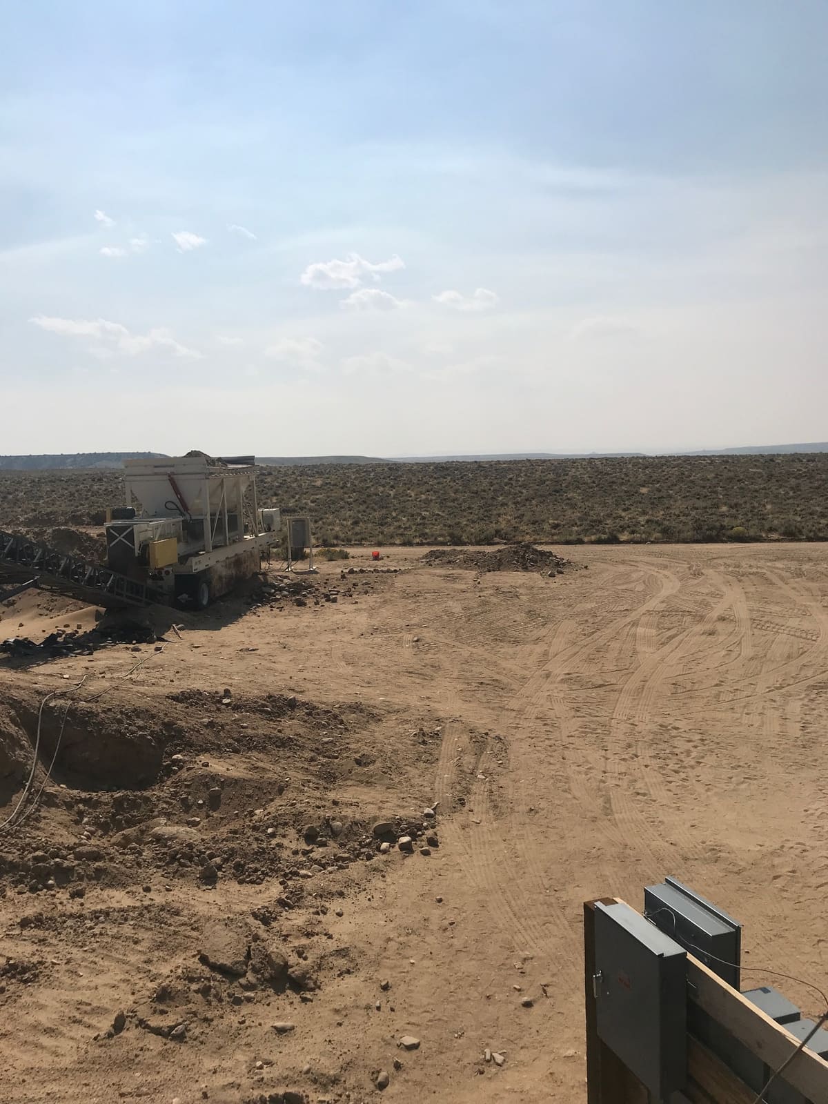
What This Section Covers
The ten chapters that follow trace the project in the order the ground revealed it: the 1894 discovery and the audacious canal that followed; the engineering examinations of the early twentieth century, including a file that connects the district to Herbert Hoover; the 1980s revival that proved commercial recovery was possible; the geology of the terraces themselves; the rare-earth mineralogy; the modern sampling and assay campaign across independent laboratories; the clay problem that governs everything; the permitting and reclamation record; and the federal critical-minerals research grant that now frames the project's future.
It is also, quietly, a story about data. A century and a quarter of maps, assays, permits, and reports — the raw material that later became the founding use case for Docutron, the document-intelligence platform I built when the paper archive of this project outgrew any human's ability to hold it in mind.
A Note on What Is Published Here
This section is drawn from the project's internal data library. Grades, mineralogy, and history are presented qualitatively or as reported by their original sources, which are named where possible. Commercial terms, valuations, and financial figures are deliberately omitted.