Exploration is the discipline of paying for bad news early. From the first season, the West Side program was structured so that every claim about the ground could be traced to a measurement, and no measurement depended on a single set of hands.
The Sequence
2014 — Reconnaissance. Fifteen sites across the district, sampled by hand and pan, following the historical record. The West Side ground outperformed the field and became the project. 2015 — First permits, first plant. A state prospecting permit, a water well (the local groundwater proved saline — the first of many practical lessons), and a small recirculating-sluice plant to move beyond pan-scale results. 2016 onward — Bulk sampling at increasing scale. A Colorado State Land Board mineral lease anchored the core ground, followed by limited-impact mining permits. Each season's plant was a hypothesis about recovery: trommels for scrubbing, thin-slurry sluices, centrifugal concentrators, duplex jigs, and a rapid thickener for water management designed with one of the country's leading minerals-processing consultancies. Drilling. Truck-mounted drilling tested the third dimension — depth of gravels, the bedrock contact, and whether values persisted below the obvious blanket (historic and modern holes both say they do, locally).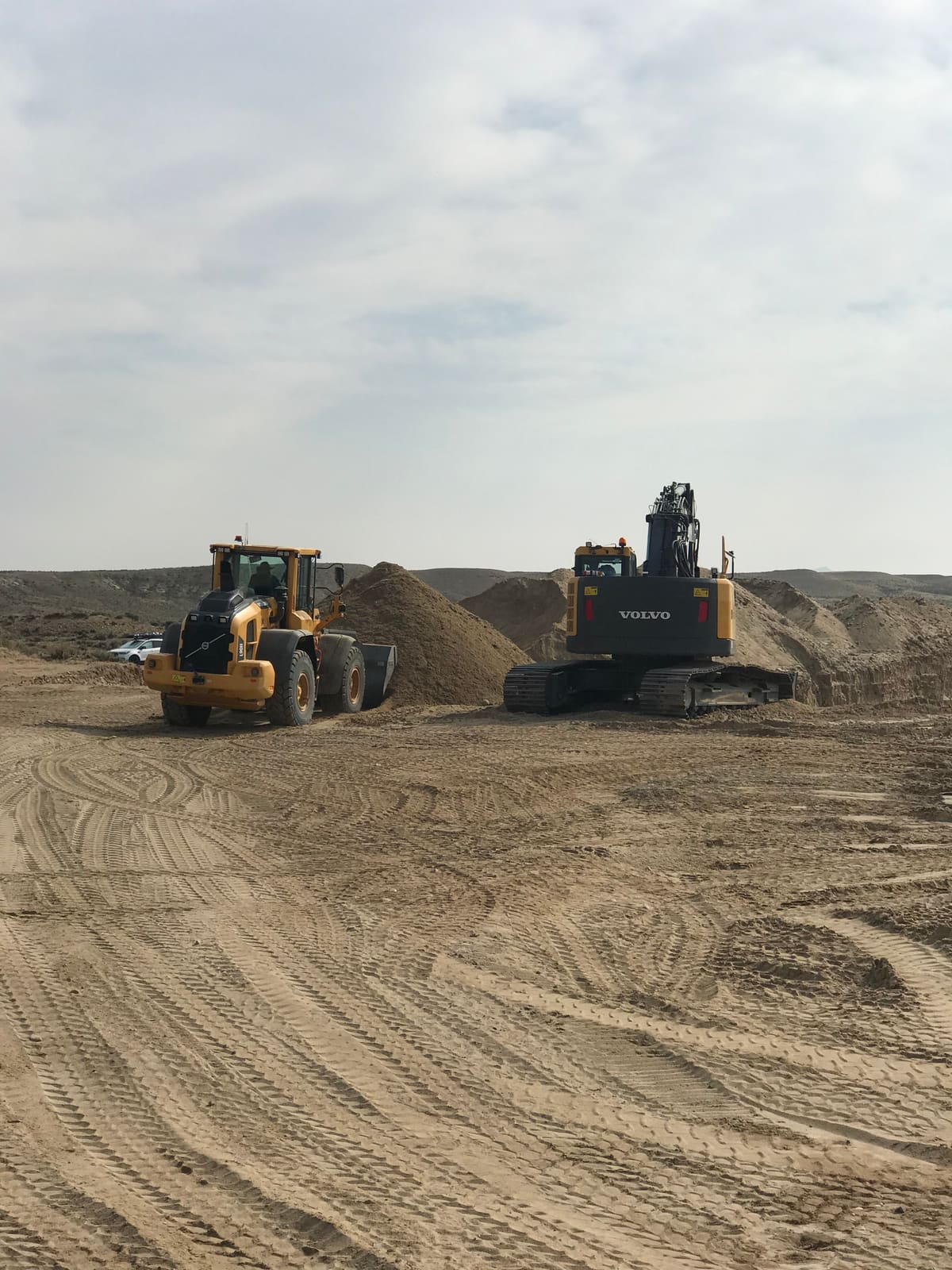
The Assay Philosophy
Placer projects have a credibility problem as old as mining itself: samples are easy to take from the sweet spot, and fine gold is notoriously easy to miscount in both directions. The program's answer was redundancy:
- Four independent laboratories analyzed the heavy-mineral suite, including Hazen Research and the laboratory of a major U.S. rare-earth producer, alongside a global titanium-minerals producer's lab.
- Multiple methods on the same material — fire assay for gold, XRF and fusion-XRF for bulk chemistry, ICP-MS for the rare-earth suite, and TIMA automated mineralogy at the University of Wyoming to count actual mineral grains rather than infer them.
- Field-scale truth-testing. Laboratory numbers were checked against what the bulk plant actually recovered from measured yardage — the only assay that ultimately matters in a placer.
What a Decade Bought
The result of the sequence is not a headline number but a characterized deposit: known gravel thicknesses, measured heavy-mineral content by terrace, a mineral inventory counted grain-by-grain, and a recovery flowsheet tested at yardage scale. In exploration, that word — characterized — is the whole game.